Rose Point Nav. System
Rose Point’s Coastal Explorer provides electronic charting and navigation capabilities for boaters, sailors, and commercial vessels. It is designed to run on Windows-based computers and integrates with various hardware devices such as GPS receivers, radar systems, and AIS (Automatic Identification System) receivers.
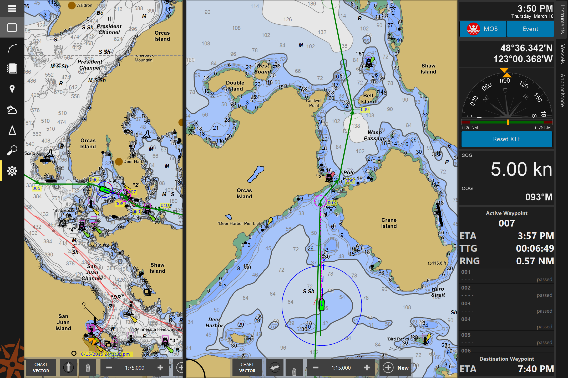
Mariners can enable their electronic charting system log file to record position, depth, and time.
When a mariner updates their software or chart catalog, data is transmitted to the DCDB.