Navico C-MAP
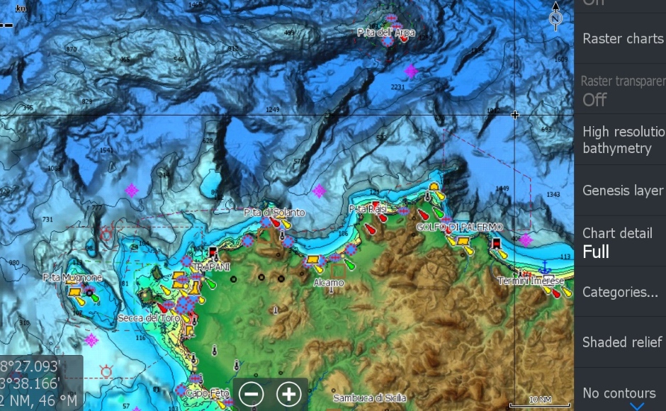
Navico C-MAP is a leading marine navigation software and charting system designed to enhance safety and efficiency for boaters and sailors. C-MAP provides detailed electronic charts, mapping, and navigational data to help mariners navigate coastal and inland waters with confidence. It offers comprehensive coverage of waterways worldwide, including accurate and up-to-date information on channels, harbors, marinas, depth contours, hazards, and other crucial features.
C-MAP integrates with compatible chartplotters, multifunction displays, and mobile devices, allowing users to plan routes, track their position, and access valuable information such as weather updates and tidal data. With its user-friendly interface and advanced features, Navico C-MAP is an essential tool for both recreational and professional mariners, ensuring a smooth and secure navigation experience on the water.