GEC Aqua Map
GEC Aqua Map’ GPS app for boating, fishing and all water sports provides a full-functioning chartplotter in the palm of your hand.
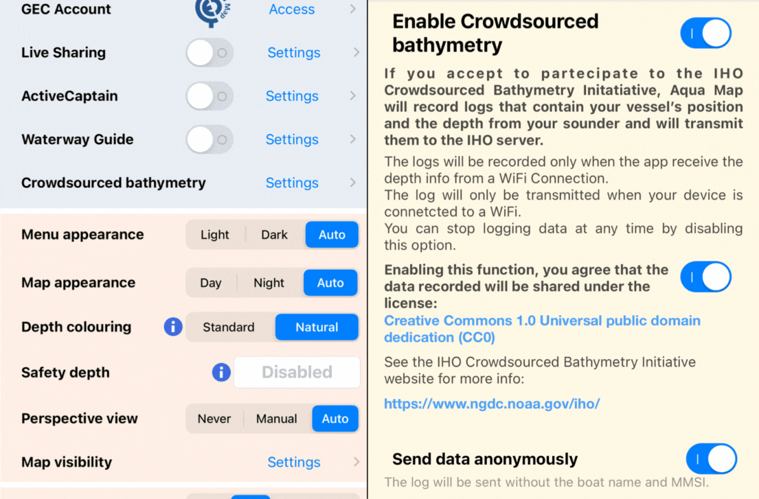
By simply turning on the CSB switch in the new dedicated section of the settings menu, users can participate in the initiative. Aqua Map will record the location of your vessel and depth info from your depth sounder and transmit them to the IHO server via NOAA.
Recordings can only be made if the application receives depth information from a depth sounder connected via WiFi. They will then be transmitted only when the device is connected to a WiFi network. You can stop data transmission at any time by deactivating this option.