Home


Crowdsourcing is a powerful approach that leverages the collective efforts of a diverse community to gather and contribute data. It involves engaging scientists, researchers, and enthusiasts in the active participation of data collection, democratizing and fostering collaboration.
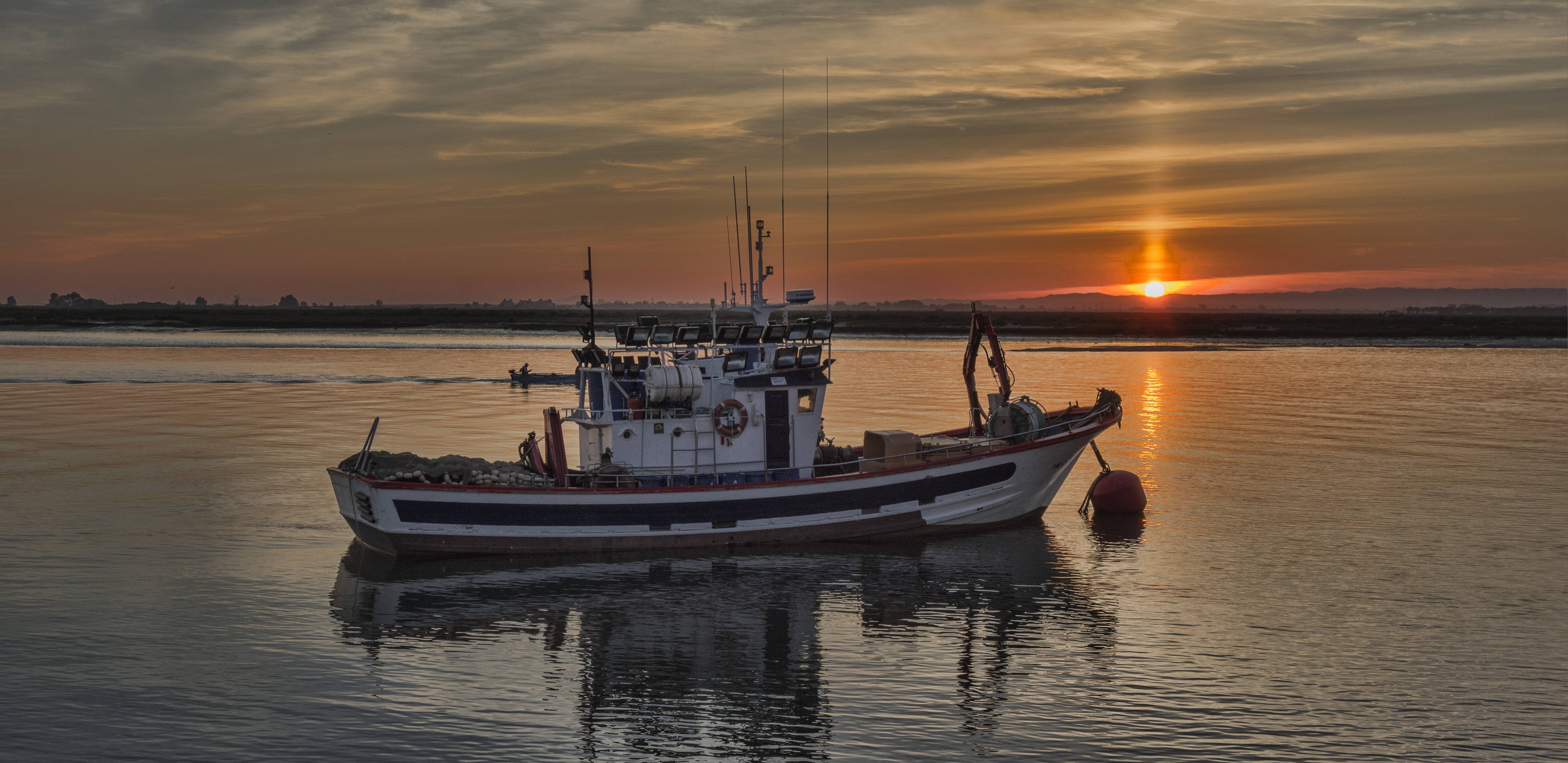
Bathymetry, a fundamental aspect of oceanography, focuses on measuring and mapping the topography of the ocean floor. It encompasses the study of underwater depths, contours and features, providing crucial insights into seafloor structures, canyons and ridges. Bathymetry is vital for understanding marine ecosystems, geological processes and identifying potential resource locations.
The combination of crowdsourcing and bathymetry creates an unprecedented opportunity to contribute to ongoing efforts to achieve a comprehensive and detailed map of the ocean floor. By involving a wide range of contributors, including research vessels, autonomous underwater vehicles, and recreational sailors, vast areas of coastal waters and the the ocean can be covered. This collaborative approach generates high-resolution bathymetric maps that unlock valuable insights into marine environments, facilitating scientific discoveries with far-reaching implications for conservation, resource management and our overall understanding of the world's oceans.
- Collective effort
- Democratization of exploration
- Diverse data sources
- Comprehensive maps
- Scientific discoveries and conservation

We invite you to be part of a transformative endeavor. By combining our resources and expertise, we can thoroughly map the depths of our oceans with unprecedented detail through collaborative efforts. Joining this initiative allows your organization to contribute valuable data, aiding scientific research and enabling better maritime navigation, resource management, and environmental protection. Together, let us embrace the spirit of collaboration and make a lasting impact on our understanding of the world beneath the waves.
| Technology Partners | Categories | Summary | |
|---|---|---|---|

|
CCOM/NOAA-UNH | Hardware | WIBL project creates budget-friendly bathymetry logger: volunteers collect depth data via GPS and echosounder, processed in cloud for archive. |
|
|
Cidco | Hardware | CIDCO in Rimouski, Canada, pioneers ocean mapping using advanced tech, collaborating for accurate seabed data benefiting navigation, resource management, and ecosystem study. |

|
FarSounder Inc. | Hardware | FarSounder excels in 3D forward-looking sonar for ships, aiding navigation and obstacle avoidance. Customers can engage in CSB data collection. |

|
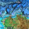
GEC Aqua Map | Software | GEC Aqua Map GPS app offers handheld chartplotter for water activities. CSB switch lets users contribute vessel location and depth data to IHO via NOAA, transmitted when connected to WiFi. |

|
M2Ocean Solutions Inc. | Hardware | M2Ocean establishes integrated marine monitoring network, collecting data for ocean understanding, climate, pollution. Distributes HydroBall® buoy for unique bathymetric data in various environments, contributing to IHO DCDB. |

|
MacGregor | Hardware | Macgregor Germany supplies Carnival Cruise Lines with VDR solutions. |
|
Navico C-MAP | Software | Navico C-MAP enhances marine navigation with detailed electronic charts, mapping, and data. Integrates with devices for route planning, weather updates, and tidal info, benefiting boaters and sailors worldwide. |

|
Orange Force Marine Ltd. | Hardware | Orange Force Marine provides specialized marine services in Great Lakes and Atlantic Canada. "Mussel" CSB kits and cloud-based data pipeline gather bathymetric data from vessels through non-intrusive hardware setup. |

|
Rose Point Nav. System | Software | Rose Point's Coastal Explorer offers electronic charting and navigation for boaters, sailors, and commercial vessels. Windows-based, integrates with GPS, radar, AIS. Logs position, depth, time, updates contribute data to DCDB. |

|
Sea ID | Hardware | SeaID's NEMO-30 data logger: config via phone/laptop, 6mo-2yr data storage, easy offloading via wifi/web interface. |


